
Gardom's Edge - Peak District Walk
Thursday 5th April 2018
I have lost count of the number of times I have said I must do Gardom's Edge and finally today I visited it and managed to explore some new paths as well.
Start: Curbar Gap car park (SK 2615 7470)
Route: Curbar Gap car park - Baslow Edge - Jack Flat - Gardom's Edge - Birchen Edge (TP) - Jack Flat - Baslow Edge - Curbar Gap car park
Distance: 6 miles Ascent: 328 metres Time Taken: 4 hrs 30 mins
Terrain: Good but muddy paths
Weather: Sunny and warm
Pub Visited: None Ale Drunk: None
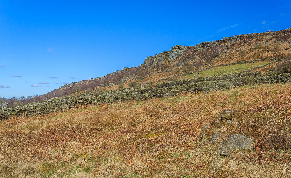
Rather than walk across Baslow Edge twice I opted to follow one of the paths that run below the edge. The glorious weather meant the holiday crowds were out in full force and it turned out to be a good way to escape them as I only passed three people on this path and I can see more than that as I look across to Curbar Edge.
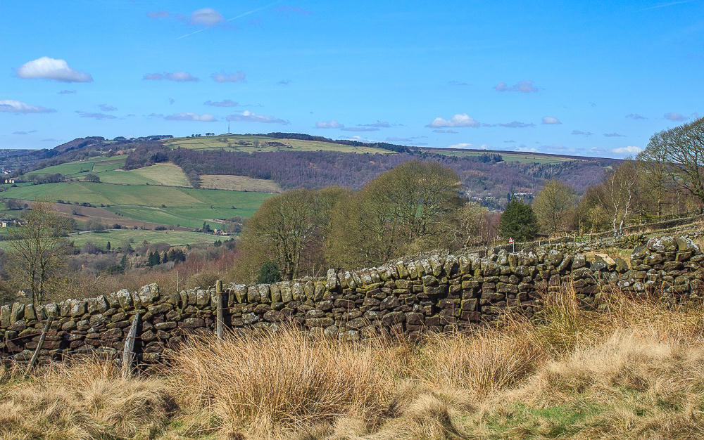
Sir William Hill dominates the view ahead before I turn left to follow the path that runs below Baslow Edge.
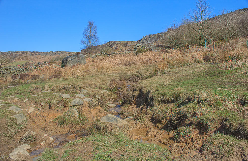
The first person I passed had warned me that getting passed the first gate was tricky and she was correct, my little legs struggled to find a spot where I could cross without risking ending up inches deep in mud and water.

Just after negotiating the tricky section of mud I spotted a herd of deer in the wood just below the edge,
of course I had left my long lens at home.
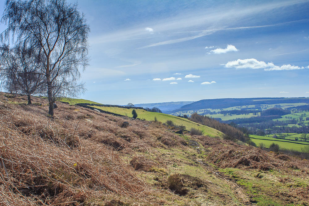
When I wasn't paying attention to where my feet were going I had a good view along the Derwent Valley.

The path brought me out at the end of Birchen Edge where I realised I had never noticed this path exisited as it isn't signed at that end of the edge.
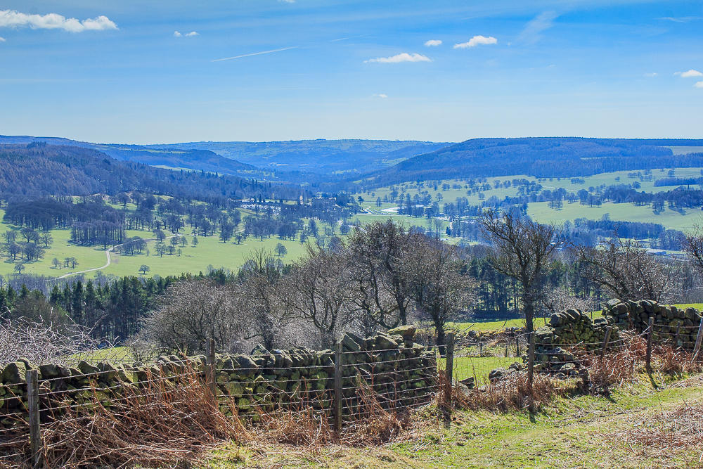
The next trick was to find the path that runs below Jack Flat, another path that despite my numerous walks up here I had never spotted, but then it is well hidden. Before I entered the wood I had a good view of the Chatsworth Estate where the grounds looked rather wet.
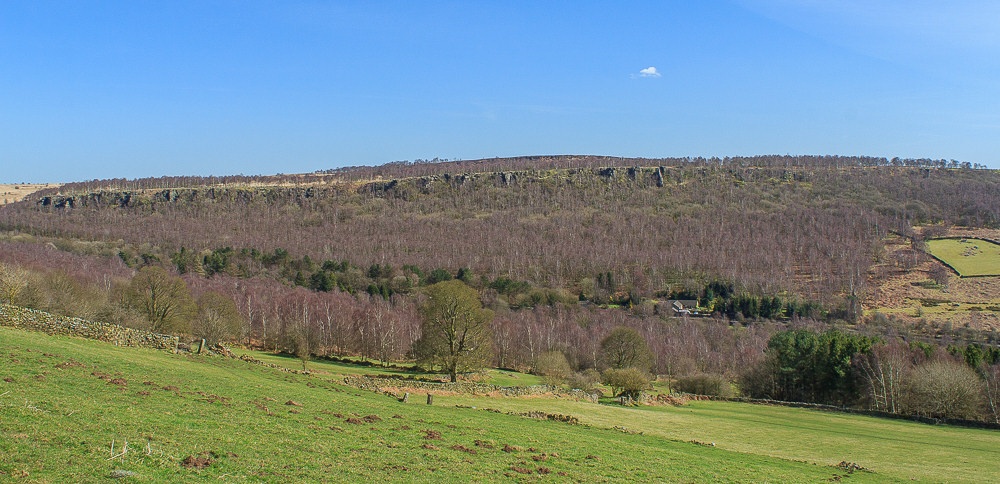
I also had a good view of Gardom's Edge, although I wasn't sure exactly where on the edge my route would bring me out.

First I had to negotiate the path below Jack Flat, which my research
had suggested would be quite muddy and slippery.

It was indeed very muddy, wet and tricky so for the next 20 minutes
or so there was some very careful placement of feet.
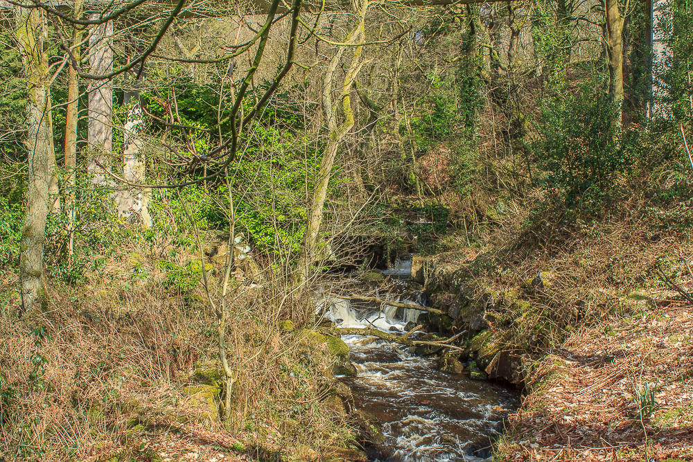
Having escaped from the wood I crossed Bar Brook and the A621 to begin the climb up to Gardom's Edge.
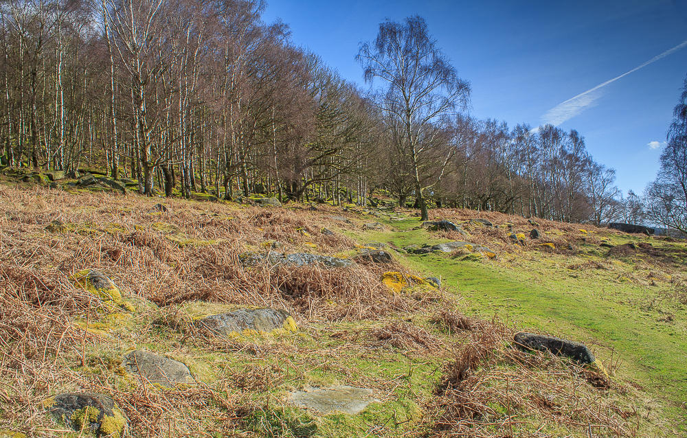
Compared to the descent to the A621 the walk uphill was rather pleasant and if I was to revisit the route I supect I would do it in reverse.
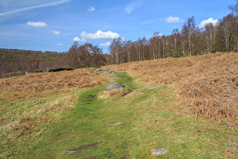
It was a mixture of woodland and open areas offering views across Baslow.
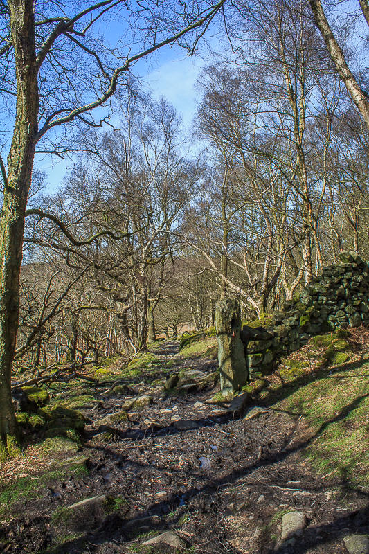
It wasn't totally devoid of mud but it was much easier going than the previous paths.
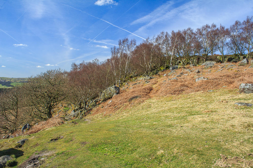
Finally I emerged onto the top of Gardom's Edge.
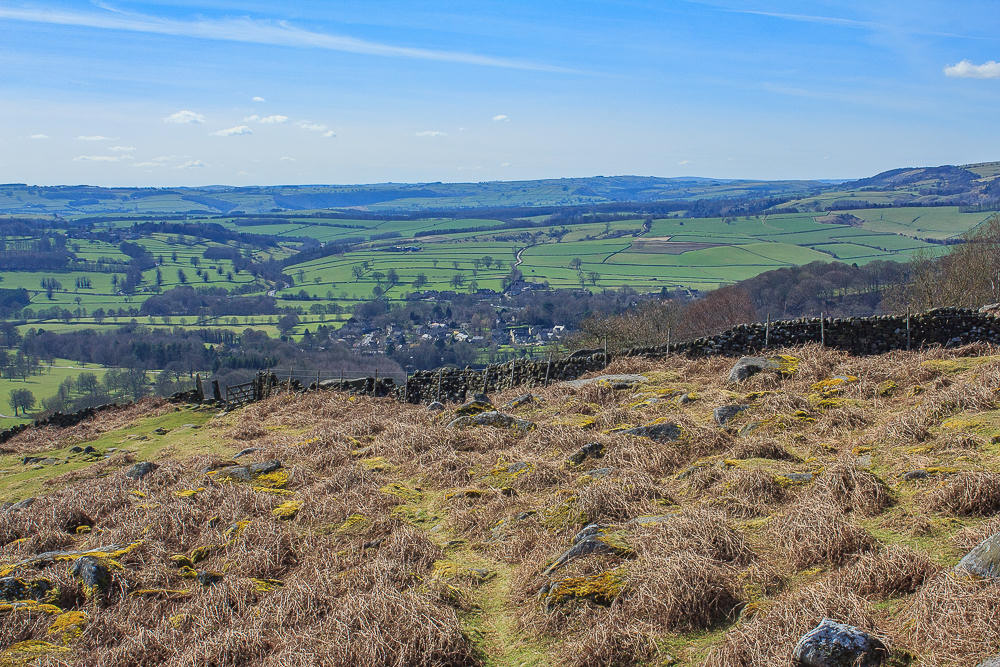
From the top of the edge I followed the path up to a rocky outcrop from where I could enjoy great views, here back across the valley towards Baslow.
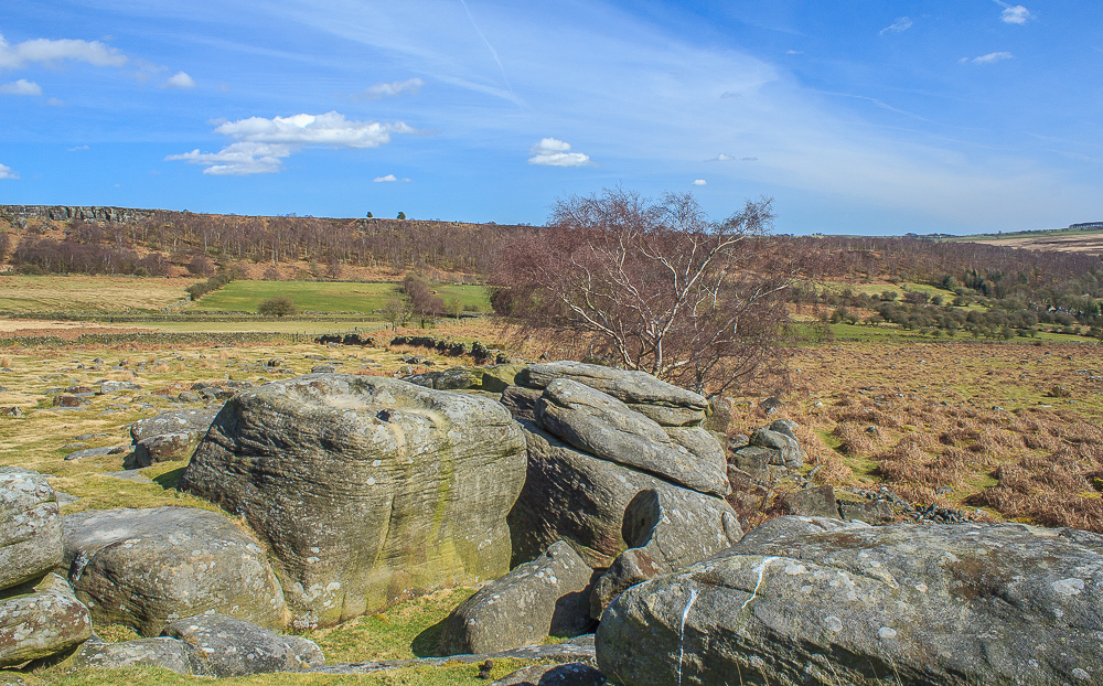
I opted for a lunch spot on top of the rocks with great views.
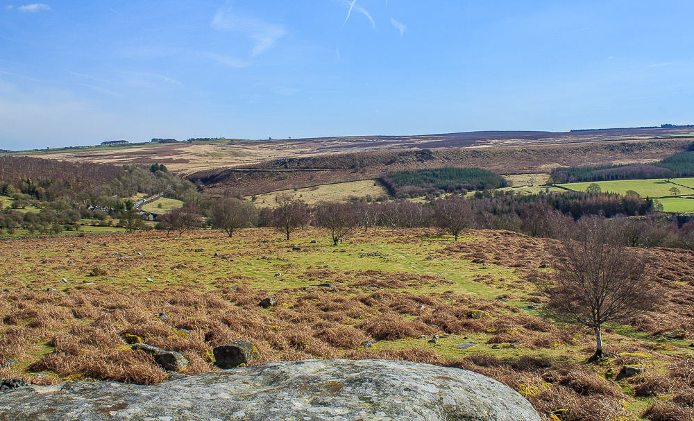
I sat for quite some time enjoying the sunshine and the views across Gibbet Moor.
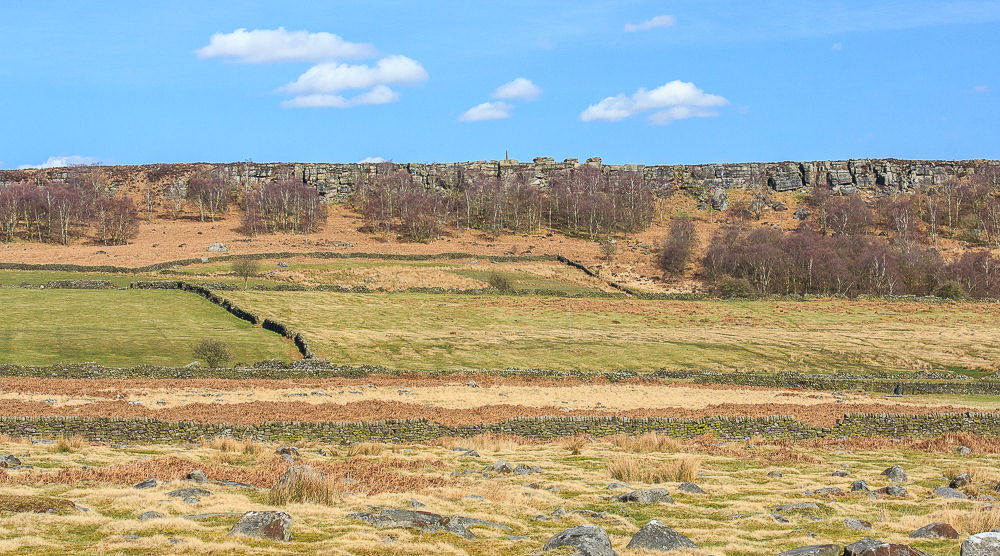
The background noise was made up of the sound of metal on rock and the voices of the climbers exploring routes up Birchen Edge.
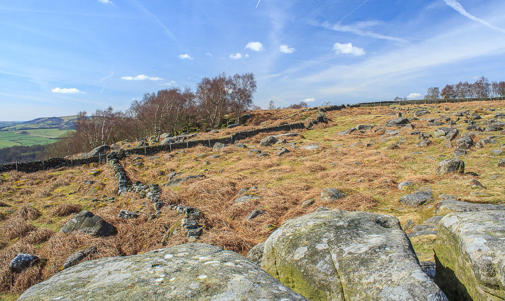
I debated heading back along the top of Gardom's Edge to go in search of the Three Men but decided to leave that route for another day.
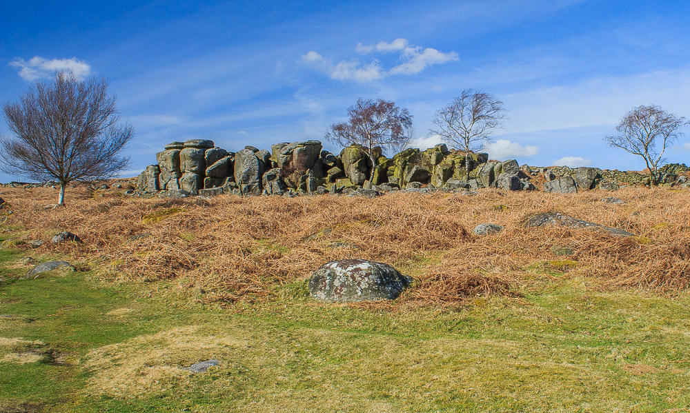
The rocky outcrop that had been my lunchspot.
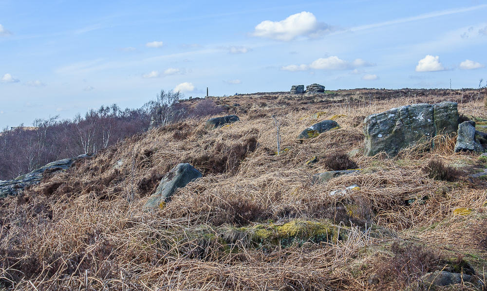
I followed a different gully onto the top of Birchen Edge and although it was easy enough today to follow the numerous tracks back onto the main path I doubt it would be as easy once the ferns were growing.
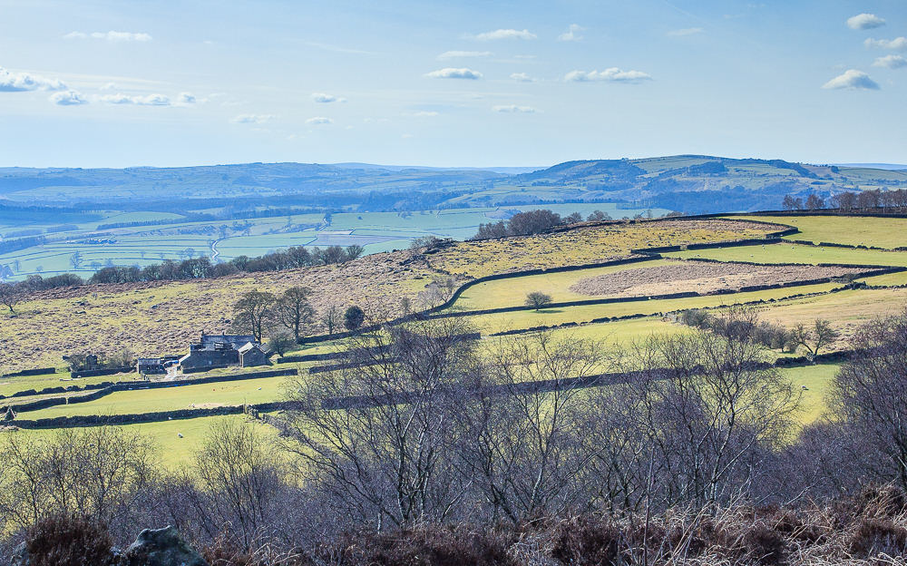
It was interesting to look down on Gardom's Edge and realise that previoulsy I had never spotted the rocky outcrop where I had my lunch.
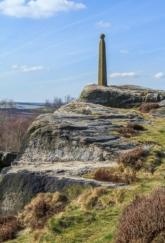
Back on familiar ground I managed to grab a shot of
Nelson's Monument without any climbers in view.
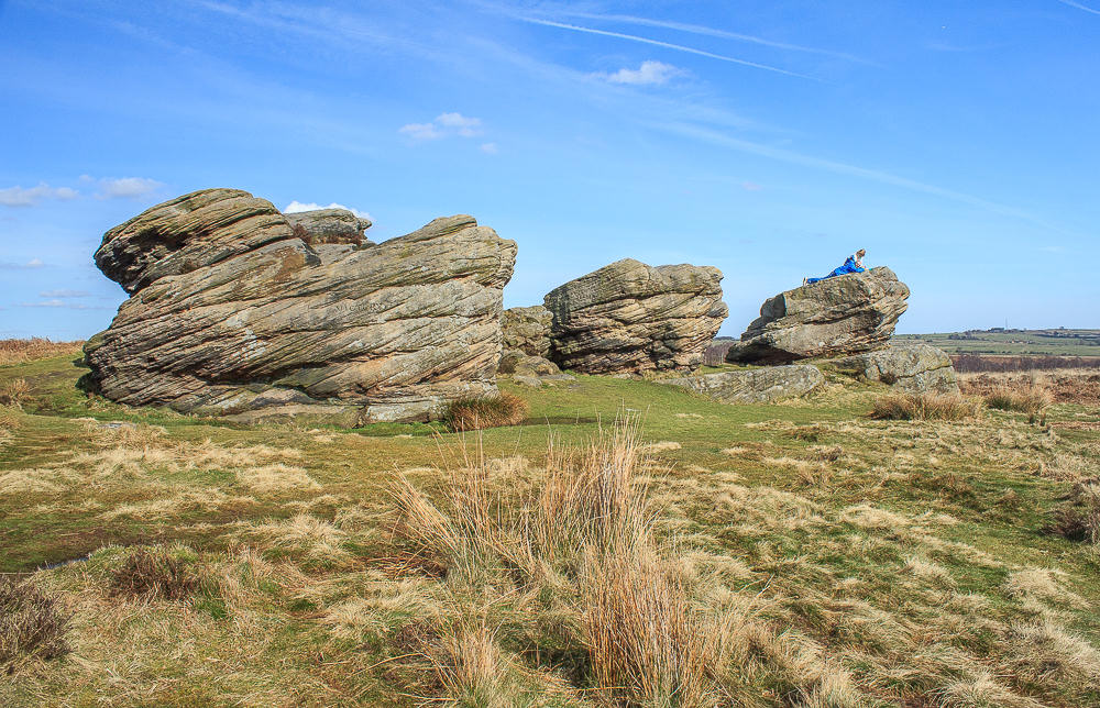
I wasn't so lucky with the Three Ships as these people had just clambered up there and were in the process of getting a flask out, so no point in hanging around hoping they would move soon.

My favourite view from Birchen Edge is from the trig point across towards White Edge.
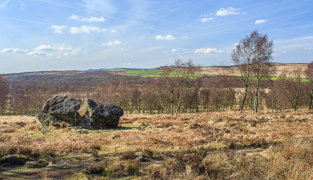
Having dropped off the edge I need to make my way across the moor/marsh which is always very wet.
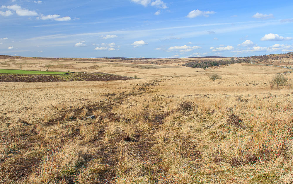
The path is easy to spot, but not so easy to stick to. It is so wet that at times it is easier to walk in the wet marsh rather than on the slabs which traditionally make the going easier across some of the worst areas of marshy ground.
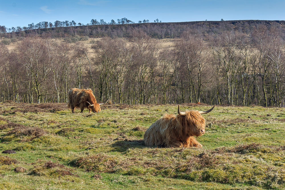
On Jack Flat I was pleased to see that, unlike last time, the residents were far more interested in having a rest than worrying about who was walking along the path.
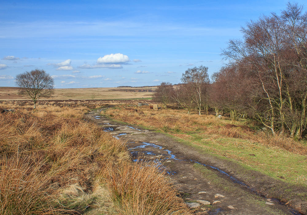
Just like the rest of the walk Jack Flat was much muddier than I was used to.
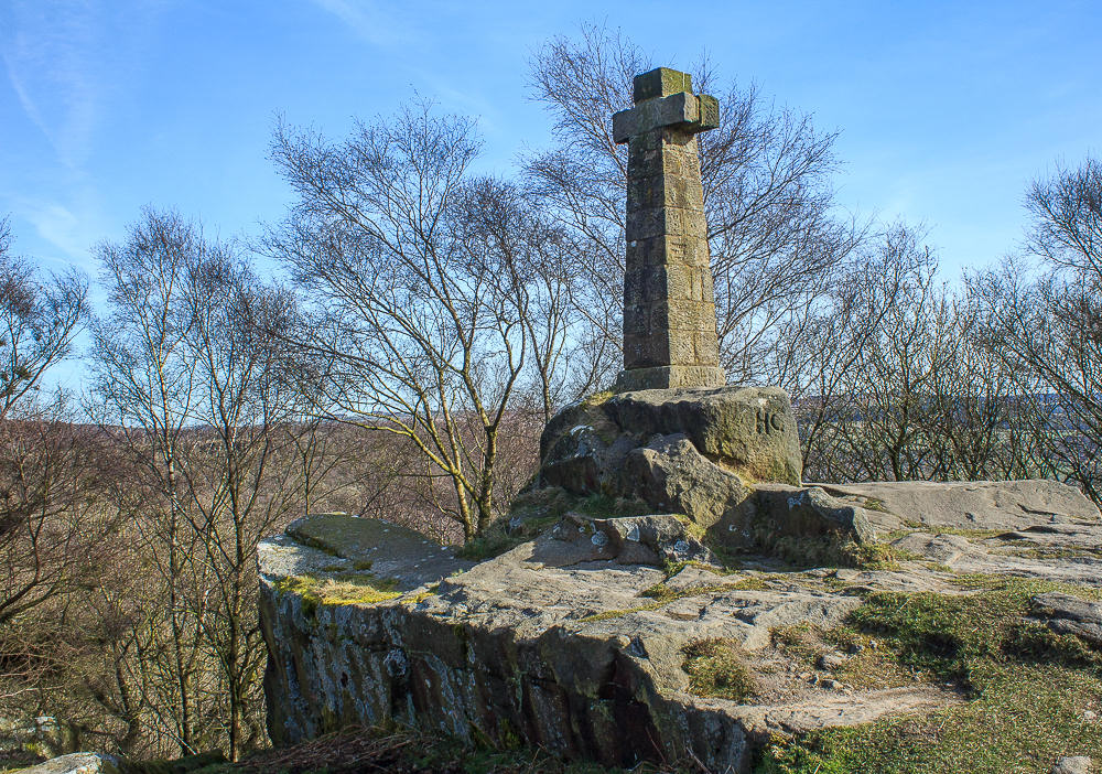
Passing Wellington's Monument I was surprised to find the seat next to it empty, but as I was so close to the car decided not to take advantage of it.
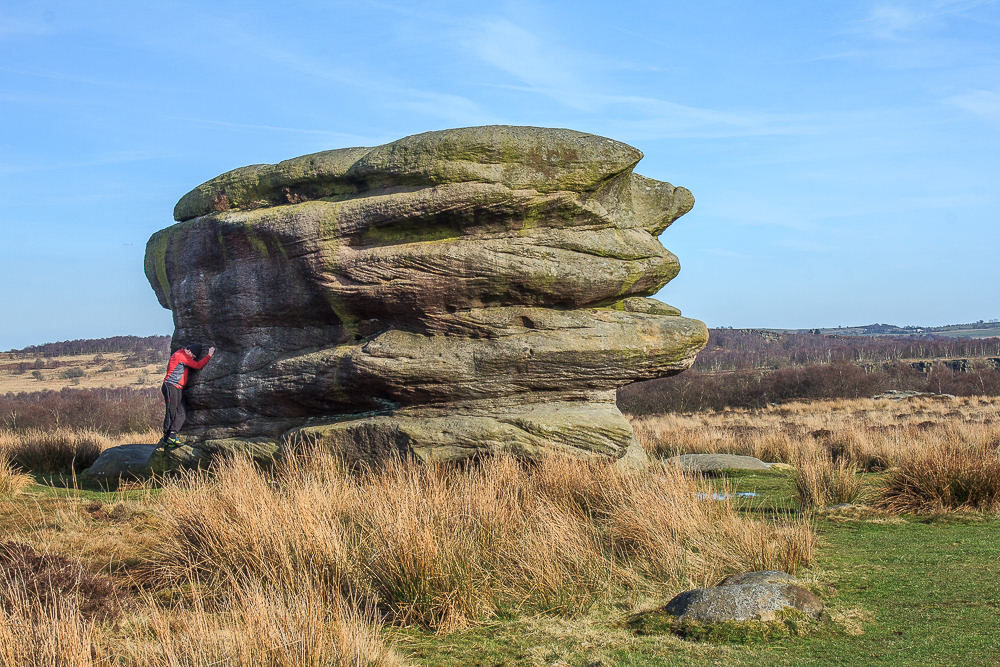
It's been a while since I have seen anyone attempting to climb the Eagle Stone, I assume he gave up as he passed me a short while later.
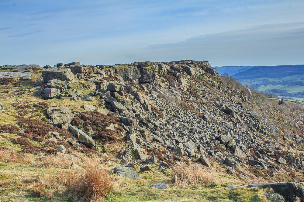
There are still plenty of climbers enjoying the late afternoon sun on Baslow Edge.
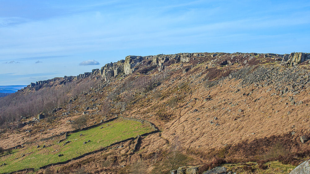
A final look at Curbar Edge before I head back to the car.
All pictures copyright © Peak Walker 2006-2023